Statistics Estonia closes the map application
The map application of Statistics Estonia, completed in 2014, will close on 30 June 2023.
The primary purpose of the application created in 2014 was to display statistics on a map that could be used for a better understanding of regional data and for making various spatial queries.
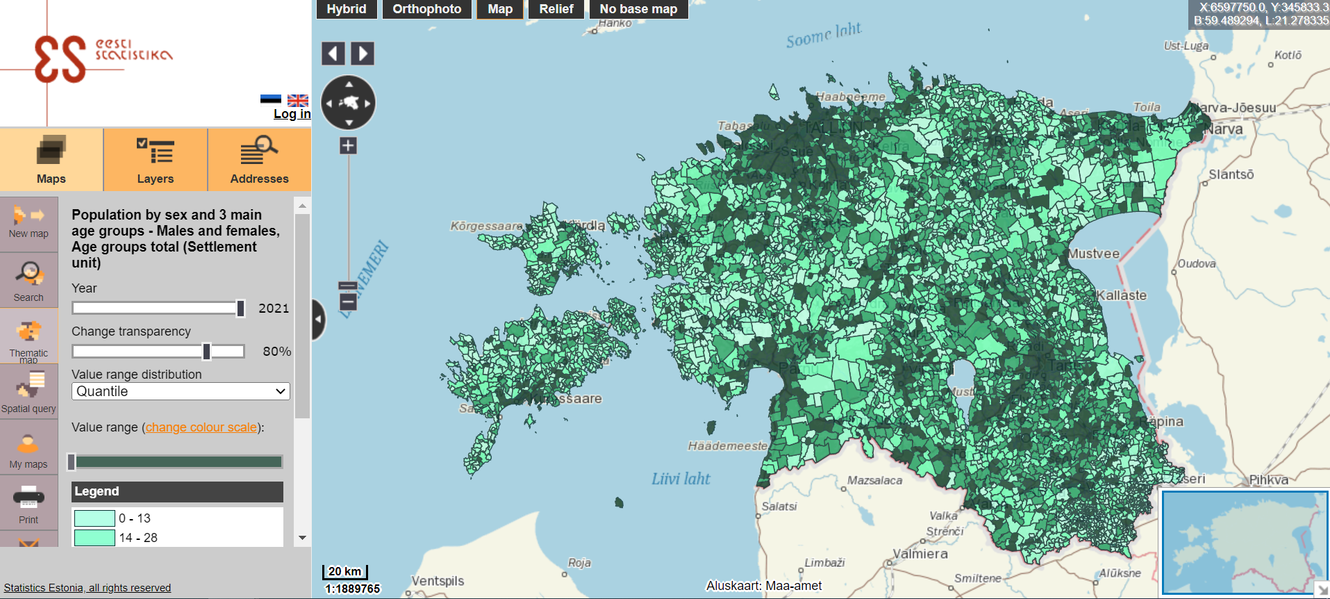
The main reason for the closure is the outdated technology of the application, which significantly reduces the ease of use and does not allow for a better representation of the data on a map.
The data for the regions on the map can also be viewed on the dashboards, where information by county, city, and rural municipality is presented in a series of comprehensive figures. These provide key information on nine areas in municipalities: population, economic units, construction, finance, income, education, social protection, justice and security, and environment. In total, there are more than fifty graphs with comparable data for each city and rural municipality.
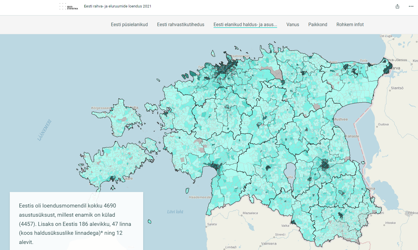
In 2022, Statistics Estonia published the first results of the 2021 population and housing census. To offer an even better picture of where and how we live, the data was displayed on a map of Estonia. The visual story map is available here.
Statistics Estonia will continue to look for new ways to better present spatial data. In the meantime, those interested in statistics can request spatial data by emailing stat [at] stat.ee (stat[at]stat[dot]ee)
Further details on requests for information and contract work can be found under Request statistics on Statistics Estonia’s website.